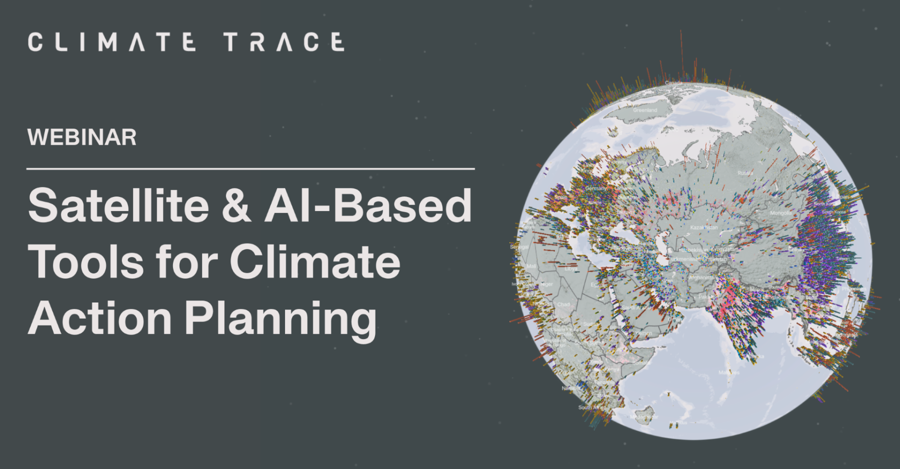
Satellite & AI-Based Tools for Climate Action Planning
Climate TRACE
Webinar | 4pm – 4.45pm, BST (Find Local Time)
Duration: 45 Minutes
Platform: Zoom
Description: Hosted by Climate TRACE, this interactive webinar showcases how satellite imagery and AI-driven data can support climate action planning.
Climate TRACE—a global coalition of over 150 nonprofits, universities, and scientists—monitors greenhouse gas and air pollutant emissions across every country, state/province, county, more than 9,000 cities and more than 740 million individual assets globally. This free, independent dataset matches each emitting asset to specific mitigation solutions with quantified decarbonization potential, giving decisionmakers the ability to assess policies and strategies across jurisdictions, sectors, and more.
Participants will explore Climate TRACE’s asset level data and transition planning tools, learning how they can support high-impact decarbonization efforts. The session will also feature perspectives from a subnational climate organization on how they are using these tools. This session is designed for national, subnational, and local policymakers, technical analysts, and science-policy practitioners.